TITAAN
A fresh view of the landscape.
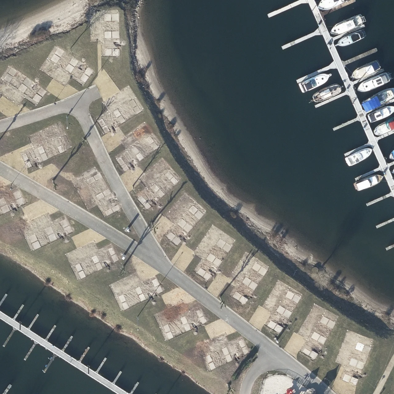
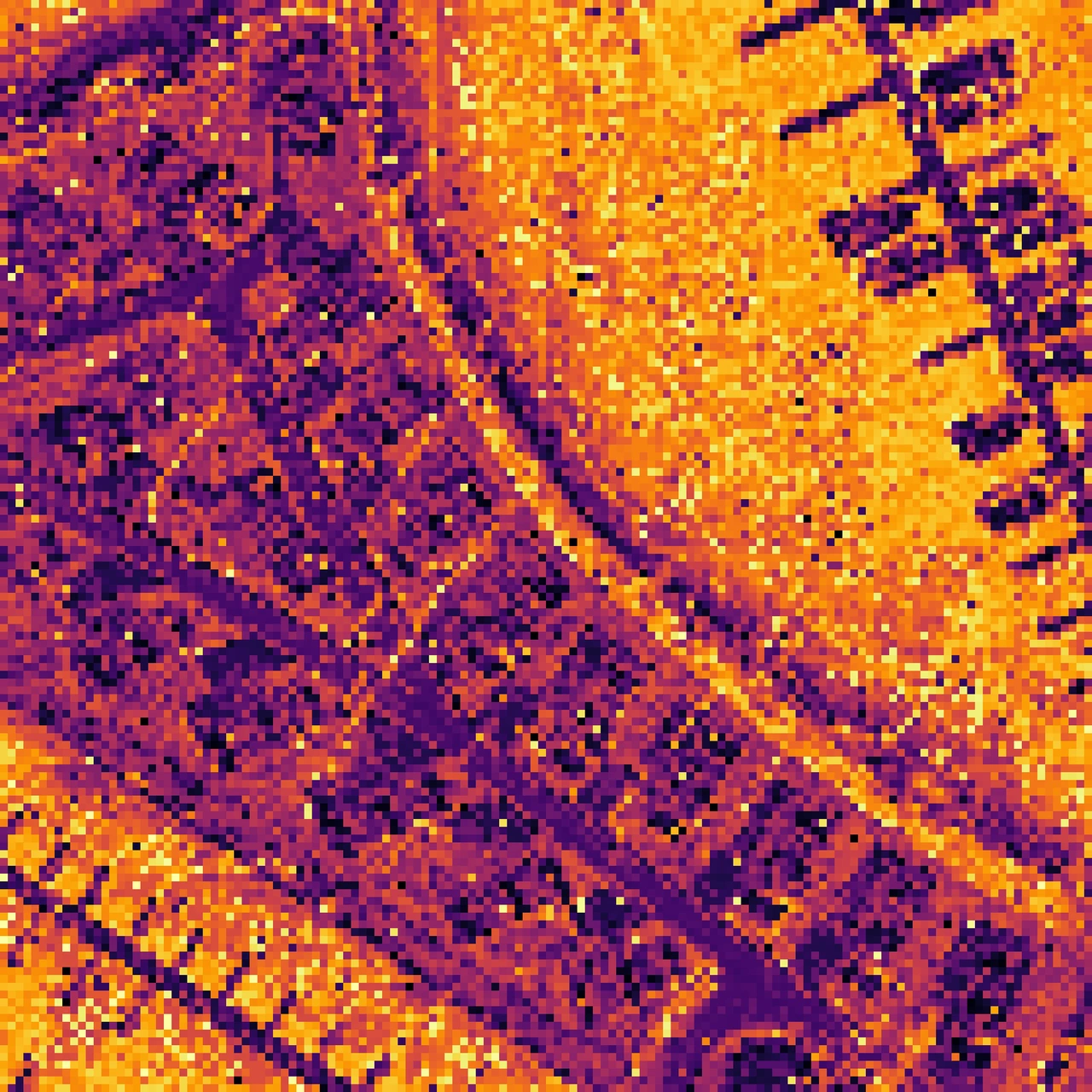
Aerial imagery, height data and satellite images each tell a different story. TITAAN brings them together in a shared GeoAI foundation model.
- Machine learning
- Computer vision
- Geospatial data
What can we learn from above?
I contribute machine learning and computer vision work to this collaborative project. The aim: help people spot changes in the Dutch landscape and turn imagery into useful insights.
-
Different views
Combine imagery and height data for a richer view of a place.
-
A shared model
Build a reusable foundation for new geospatial applications.
-
A closer look
Help GIS specialists inspect waterways, objects and landscape changes.
Small changes. A bigger picture.
A concept illustration of landscape monitoring, based on the public project description.
A change worth a closer look.
Help a GIS specialist see where to look next.
About TITAAN at Het Waterschapshuis